Snowpack Summary for Friday, March 24, 2017 6:42 PM Another return to winter conditons
This summary expired Mar. 26, 2017 6:42 PM
Flagstaff, Arizona - Backcountry of The San Francisco Peaks and Kachina Peaks Wilderness
For the short-term, winter travelers are urged to avoid avalanche terrain. Over the upcoming week, skiers and boarders should carefully examine bonding between the new snow and the old, with a critical eye towards identifying a new persistent weak layer of near surface facets that may develop between the new cold snow and old pre-storm snowpack.
We did get a chance to examine near treeline southwestern slopes on Thursday during the late stages of the storm. The new/old snow boundary was well bonded and not reactive. No collapsing and only very minor cracking in the new snow. However there was a 1.5° C temperature gradient between the new and old snow and this could lead to a weakening of bonds over the next 24 hours. We encourage you to carefully examine the bond between new and old snow.
Southerly and westerly aspects below 10,000' are getting thin, with rocks and logs just under the surface and hidden by the recent snow. North and east aspects have fairly good coverage down to 9000'.
Current Problems (noninclusive) more info

There is a chance for more snow next week, so storm slab issues may continue.

Images
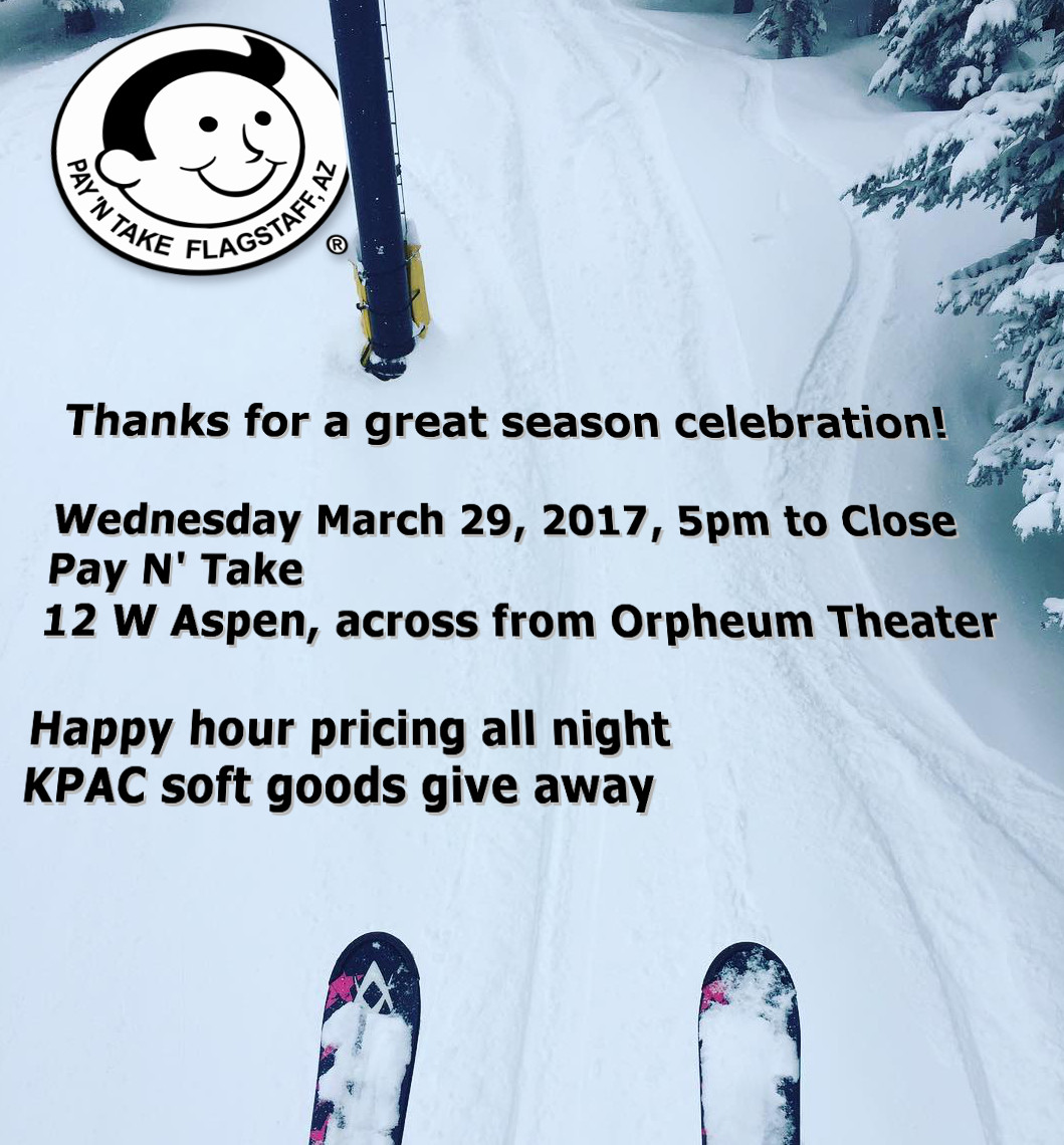
Thank you for all your support. Come celebrate with us at Pay N’ Take next Wednesday!
Photo by Sabrina Carlson
Final Thoughts
Travelers are advised to exercise caution, make slope specific evaluations and most of all, know where you are going and be prepared for the unexpected.
As always, please treat this summary with appropriately guarded skepticism, make your own assessments, and contribute to our body of knowledge by reporting your observations.
Arizona Snowbowl uphill policy.
During winter, backcountry permits are required to access the Kachina Peaks Wilderness. More info
Weather
After two weeks high pressure and spring conditions, Wednesday and Thursday brought a surprisingly potent storm with 18-23 inches of new snow to high elevations on San Francisco Peaks. The storm was accompanied by moderately sustained winds out of the west and southwest, with gusts recorded into the high 40s (mph). On Friday March 24th, northerly winds and intensified, with lots of snow observed being transported in turbulent suspension across ridge lines. Temperatures on Friday will warm briefly, before a short wave trough passes quickly through our region on Saturday bringing light to moderate precipitation to the high courtly. Throughout the rest of the week, the weather will be breezy, unsettled, and more reflective of seasonally average temperatures.
On Friday morning, March 24th the Inner Basin SNOTEL site (Snowslide) reported a snow depth of 72 inches (183 cm) at 9700' and Arizona Snowbowl reported 103 inches (262 cm) at 10800'. Since March 17th SNOTEL temperatures ranged between 24° and 58° F and Agassiz station between 13° and 49° F.
Authored/Edited By: Derik Spice, David Lovejoy, Troy Marino
Avalanche Problems/Characters
The avalanche problem/character describes part of the current avalanche danger. However because we only realease a summary once a week, the current avalanche problem will likely change.
Understanding avalanche problems is essential, because it allows you to determine your approach and strategies to risk treatment. Below are brief descriptions of avalanche problems/characters, and links to detailed information on the problem, formation, patterns, recognition, and avoidance strategies.
Avalanche Problems Explained
Also see the North American Danger Scale.
Loose Dry

Release of dry unconsolidated snow. These avalanches typically occur within layers of soft snow near the surface of the snowpack. Loose-dry avalanches start at a point and entrain snow as they move downhill, forming a fan-shaped avalanche. Other names for loose-dry avalanches include point-release avalanches or sluffs. Loose-dry avalanches can trigger slab avalanches that break into deeper snow layers.
Loose Dry avalanches are usually relatively harmless to people. They can be hazardous if you are caught and carried into or over a terrain trap (e.g. gully, rocks, dense timber, cliff, crevasse) or down a long slope. Avoid traveling in or above terrain traps when Loose Dry avalanches are likely. more info
Storm Slab
Release of a soft cohesive layer (a slab) of new snow that breaks within the storm snow or on the old snow surface. Storm-slab problems typically last between a few hours and few days. Storm-slabs that form over a persistent weak layer (surface hoar, depth hoar, or near-surface facets) may be termed Persistent Slabs or may develop into Persistent Slabs.
You can reduce your risk from Storm Slabs by waiting a day or two after a storm before venturing into steep terrain. Storm slabs are most dangerous on slopes with terrain traps, such as timber, gullies, over cliffs, or terrain features that make it difficult for a rider to escape off the side. more info
Wind Slab
Release of a cohesive layer of snow (a slab) formed by the wind. Wind typically transports snow from the upwind sides of terrain features and deposits snow on the downwind side. Wind slabs are often smooth and rounded and sometimes sound hollow, and can range from soft to hard. Wind slabs that form over a persistent weak layer (surface hoar, depth hoar, or near-surface facets) may be termed Persistent Slabs or may develop into Persistent Slabs.
Wind Slabs form in specific areas, and are confined to lee and cross-loaded terrain features. They can be avoided by sticking to sheltered or wind-scoured areas. more info
Persistent Slab

Release of a cohesive layer of soft to hard snow (a slab) in the middle to upper snowpack, when the bond to an underlying persistent weak layer breaks. Persistent layers include: surface hoar, depth hoar, near-surface facets, or faceted snow. Persistent weak layers can continue to produce avalanches for days, weeks or even months, making them especially dangerous and tricky. As additional snow and wind events build a thicker slab on top of the persistent weak layer, this avalanche problem may develop into a Deep Persistent Slab.
The best ways to manage the risk from Persistent Slabs is to make conservative terrain choices. They can be triggered by light loads and weeks after the last storm. The slabs often propagate in surprising and unpredictable ways. This makes this problem difficult to predict and manage and requires a wide safety buffer to handle the uncertainty. more info
Deep Persistent Slab

Release of a thick cohesive layer of hard snow (a slab), when the bond breaks between the slab and an underlying persistent weak layer, deep in the snowpack or near the ground. The most common persistent weak layers involved in deep, persistent slabs are depth hoar or facets surrounding a deeply buried crust. Deep Persistent Slabs are typically hard to trigger, are very destructive and dangerous due to the large mass of snow involved, and can persist for months once developed. They are often triggered from areas where the snow is shallow and weak, and are particularly difficult to forecast for and manage. They commonly develop when Persistent Slabs become more deeply buried over time.
Deep Persistent Slabs are destructive and deadly events that can take months to stabilize. You can trigger them from well down in the avalanche path, and after dozens of tracks have crossed the slope. more info
Loose Wet

Release of wet unconsolidated snow or slush. These avalanches typically occur within layers of wet snow near the surface of the snowpack, but they may quickly gouge into lower snowpack layers. Like Loose Dry Avalanches, they start at a point and entrain snow as they move downhill, forming a fan-shaped avalanche. They generally move slowly, but can contain enough mass to cause significant damage to trees, cars or buildings. Other names for loose-wet avalanches include point-release avalanches or sluffs. Loose Wet avalanches can trigger slab avalanches that break into deeper snow layers.
Travel when the snow surface is colder and stronger. Plan your trips to avoid crossing on or under very steep slopes in the afternoon. Move to colder, shadier slopes once the snow surface turns slushly. Avoid steep, sunlit slopes above terrain traps, cliffs areas and long sustained steep pitches. more info
Wet Slab

Release of a cohesive layer of snow (a slab) that is generally moist or wet when the flow of liquid water weakens the bond between the slab and the surface below (snow or ground). They often occur during prolonged warming events and/or rain-on-snow events. Wet Slabs can be very destructive.
Avoid terrain where and when you suspect Wet Slab avalanche activity. Give yourself a wide safety buffer to handle the uncertainty. more info
Cornice Fall

Cornice Fall is the release of an overhanging mass of snow that forms as the wind moves snow over a sharp terrain feature, such as a ridge, and deposits snow on the downwind (leeward) side. Cornices range in size from small wind lips of soft snow to large overhangs of hard snow that are 30 feet (10 meters) or taller. They can break off the terrain suddenly and pull back onto the ridge top and catch people by surprise even on the flat ground above the slope. Even small cornices can have enough mass to be destructive and deadly. Cornice Fall can entrain loose surface snow or trigger slab avalanches.
Cornices can never be trusted and avoiding them is necessary for safe backcountry travel. Stay well back from ridge line areas with cornices. They often overhang the ridge edge can be triggered remotely. Avoid areas underneath cornices. Even small Cornice Fall can trigger a larger avalanche and large Cornice Fall can easily crush a human. Periods of significant temperature warm-up are times to be particularly aware.
Large cornices are generally rare in Arizona, but they have been observed during very snowy winters. more info
Glide

Release of the entire snow cover as a result of gliding over the ground. Glide avalanches can be composed of wet, moist, or almost entirely dry snow. They typically occur in very specific paths, where the slope is steep enough and the ground surface is relatively smooth. The are often proceeded by full depth cracks (glide cracks), though the time between the appearance of a crack and an avalanche can vary between seconds and months. Glide avalanches are unlikely to be triggered by a person, are nearly impossible to forecast, and thus pose a hazard that is extremely difficult to manage.
Predicting the release of Glide Avalanches is very challenging. Because Glide Avalanches only occur on very specific slopes, safe travel relies on identifying and avoiding those slopes. Glide cracks are a significant indicator, as are recent Glide Avalanches.
Glide avalanches are very uncommon in Arizona. more info
