Snowpack Summary for Friday, March 30, 2018 6:56 PM Spring Skiing and Mikee Linville Scholarship Fundraiser March 31st!
This summary expired Apr. 01, 2018 6:56 PM
Flagstaff, Arizona - Backcountry of The San Francisco Peaks and Kachina Peaks Wilderness
Natural and human triggered wet avalanches may be possible as near treeline temperatures push 50° F. No human triggered avalanches, nor significant slab avalanches have been reported this season. However, spring is here, the sun is higher and the temperature is warmer. Be aware of wet avalanche issues. Wet slide possibilities are mitigated somewhat by the relative lack of snow on warmer/sunny aspects.
High elevation North aspects may retain reactive weak layers. Recent tests above treeline, 11,600' north aspect, revealed a weak snowpack structure in thin areas (100 cm), with moderate to low fracture propagation.
Current skiable terrain with sufficient coverage is mostly on wind protected slopes and/or northerly aspects. Spring corn cycle skiing predominates. Knowing the elevation and duration of overnight freezing temperatures is crucial to safe spring skiing, as well as timing aspect dependent descents. Year to date snowfall is 95", with a base of 36".
Travels can be challenging due to our shallow snowpack. Expect to carry your skis/boards. Logs and rocks are a significant hazard. Melt/freeze crusts have developed on all aspects and elevations. Crampons may be helpful.
Most northerly aspects will have the best coverage with measured depths at 10000' ranging from 22 to 50" (56 cm to 127 cm), while south facing slopes range from zero snow to 28" (71 cm) in favored locations near treeline. Melt/freeze crusts have developed on all aspects and snow depth is highly variable due to wind transport and sun affect, aspect dependent.
Current Problems (noninclusive) more info

Travel early when the snow surface is colder and stronger after consistent freezes. Plan your trips to avoid crossing on or under very steep slopes in the afternoon. Move to colder, shadier slopes once the snow surface turns slushy. Avoid steep, sunlit slopes above terrain traps, cliffs areas and long sustained steep pitches.

Snowballing, pinwheels, and small Wet Slabs indicate the potential for larger Wet Slabs. Another indicator of Wet Slab avalanches is two or three nights where temperatures do not drop below freezing. Keep an eye on the weather stations linked below.
Images
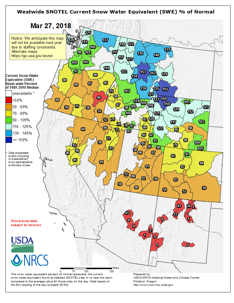
On March 27th Snowslide SNOTEL reported SWE of 7.6" and a snow depth of 21", ~43% of normal. Last year on March 27th, 2017 the snow depth was 66". The historic average for 3/27 is closer to 47".
Final Thoughts
Uphill travel on terrain within the Arizona Snowbowl ski area is now open. Please refer to www.flagstaffuphill.com and https://www.snowbowl.ski/the-mountain/uphill-access/ for details.
Weather
After a week of cool turbulent weather with disappointingly low accumulation of new snow, spring appears to have arrived in unrest. Over the past week only 2 inches of new snow was recorded at 10,800 feet. Since Wednesday, warm temperatures and light winds have brought a distinct springtime feel to the mountain as high pressure builds.
Looking into the future, overall the models are showing building high pressure. Despite two shallow low-pressure troughs passing to our north early in the workweek, there is little hope for precipitation within the next 7 to 8 days. For the most part, temperatures will be spring-like, at and above normal, and breezy out of the west and north. Clouds and a short period of cooling early in the week will be replaced by warm to above average temperatures later in the week.
On the evening of March 29th the Inner Basin SNOTEL site (Snowslide) reported a snow depth of 16 inches (40.5 cm) at 9,730 ft and Arizona Snowbowl reported a settled base of ~36 inches (91 cm) at 10,800 ft. So far this winter 95 inches (241 cm) of snow have fallen at the mid-mountain study site. Since March 22nd SNOTEL temperatures have ranged between 16° on March 27th and 49° F on March 29th . For the same period, the AZ Snowbowl Top Patrol Station (ASBTP - elev. 11555 ft) temperature ranged between 11° and 38 ° F on the same days. At this point in our winter, we have received only 35% of our average seasonal snowfall at 10,800 feet.
Authored/Edited By: Troy Marino, Derik Spice
Avalanche Problems/Characters
The avalanche problem/character describes part of the current avalanche danger. However because we only realease a summary once a week, the current avalanche problem will likely change.
Understanding avalanche problems is essential, because it allows you to determine your approach and strategies to risk treatment. Below are brief descriptions of avalanche problems/characters, and links to detailed information on the problem, formation, patterns, recognition, and avoidance strategies.
Avalanche Problems Explained
Also see the North American Danger Scale.
Loose Dry

Release of dry unconsolidated snow. These avalanches typically occur within layers of soft snow near the surface of the snowpack. Loose-dry avalanches start at a point and entrain snow as they move downhill, forming a fan-shaped avalanche. Other names for loose-dry avalanches include point-release avalanches or sluffs. Loose-dry avalanches can trigger slab avalanches that break into deeper snow layers.
Loose Dry avalanches are usually relatively harmless to people. They can be hazardous if you are caught and carried into or over a terrain trap (e.g. gully, rocks, dense timber, cliff, crevasse) or down a long slope. Avoid traveling in or above terrain traps when Loose Dry avalanches are likely. more info
Storm Slab

Release of a soft cohesive layer (a slab) of new snow that breaks within the storm snow or on the old snow surface. Storm-slab problems typically last between a few hours and few days. Storm-slabs that form over a persistent weak layer (surface hoar, depth hoar, or near-surface facets) may be termed Persistent Slabs or may develop into Persistent Slabs.
You can reduce your risk from Storm Slabs by waiting a day or two after a storm before venturing into steep terrain. Storm slabs are most dangerous on slopes with terrain traps, such as timber, gullies, over cliffs, or terrain features that make it difficult for a rider to escape off the side. more info
Wind Slab

Release of a cohesive layer of snow (a slab) formed by the wind. Wind typically transports snow from the upwind sides of terrain features and deposits snow on the downwind side. Wind slabs are often smooth and rounded and sometimes sound hollow, and can range from soft to hard. Wind slabs that form over a persistent weak layer (surface hoar, depth hoar, or near-surface facets) may be termed Persistent Slabs or may develop into Persistent Slabs.
Wind Slabs form in specific areas, and are confined to lee and cross-loaded terrain features. They can be avoided by sticking to sheltered or wind-scoured areas. more info
Persistent Slab

Release of a cohesive layer of soft to hard snow (a slab) in the middle to upper snowpack, when the bond to an underlying persistent weak layer breaks. Persistent layers include: surface hoar, depth hoar, near-surface facets, or faceted snow. Persistent weak layers can continue to produce avalanches for days, weeks or even months, making them especially dangerous and tricky. As additional snow and wind events build a thicker slab on top of the persistent weak layer, this avalanche problem may develop into a Deep Persistent Slab.
The best ways to manage the risk from Persistent Slabs is to make conservative terrain choices. They can be triggered by light loads and weeks after the last storm. The slabs often propagate in surprising and unpredictable ways. This makes this problem difficult to predict and manage and requires a wide safety buffer to handle the uncertainty. more info
Deep Persistent Slab

Release of a thick cohesive layer of hard snow (a slab), when the bond breaks between the slab and an underlying persistent weak layer, deep in the snowpack or near the ground. The most common persistent weak layers involved in deep, persistent slabs are depth hoar or facets surrounding a deeply buried crust. Deep Persistent Slabs are typically hard to trigger, are very destructive and dangerous due to the large mass of snow involved, and can persist for months once developed. They are often triggered from areas where the snow is shallow and weak, and are particularly difficult to forecast for and manage. They commonly develop when Persistent Slabs become more deeply buried over time.
Deep Persistent Slabs are destructive and deadly events that can take months to stabilize. You can trigger them from well down in the avalanche path, and after dozens of tracks have crossed the slope. more info
Loose Wet
Release of wet unconsolidated snow or slush. These avalanches typically occur within layers of wet snow near the surface of the snowpack, but they may quickly gouge into lower snowpack layers. Like Loose Dry Avalanches, they start at a point and entrain snow as they move downhill, forming a fan-shaped avalanche. They generally move slowly, but can contain enough mass to cause significant damage to trees, cars or buildings. Other names for loose-wet avalanches include point-release avalanches or sluffs. Loose Wet avalanches can trigger slab avalanches that break into deeper snow layers.
Travel when the snow surface is colder and stronger. Plan your trips to avoid crossing on or under very steep slopes in the afternoon. Move to colder, shadier slopes once the snow surface turns slushly. Avoid steep, sunlit slopes above terrain traps, cliffs areas and long sustained steep pitches. more info
Wet Slab
Release of a cohesive layer of snow (a slab) that is generally moist or wet when the flow of liquid water weakens the bond between the slab and the surface below (snow or ground). They often occur during prolonged warming events and/or rain-on-snow events. Wet Slabs can be very destructive.
Avoid terrain where and when you suspect Wet Slab avalanche activity. Give yourself a wide safety buffer to handle the uncertainty. more info
Cornice Fall

Cornice Fall is the release of an overhanging mass of snow that forms as the wind moves snow over a sharp terrain feature, such as a ridge, and deposits snow on the downwind (leeward) side. Cornices range in size from small wind lips of soft snow to large overhangs of hard snow that are 30 feet (10 meters) or taller. They can break off the terrain suddenly and pull back onto the ridge top and catch people by surprise even on the flat ground above the slope. Even small cornices can have enough mass to be destructive and deadly. Cornice Fall can entrain loose surface snow or trigger slab avalanches.
Cornices can never be trusted and avoiding them is necessary for safe backcountry travel. Stay well back from ridge line areas with cornices. They often overhang the ridge edge can be triggered remotely. Avoid areas underneath cornices. Even small Cornice Fall can trigger a larger avalanche and large Cornice Fall can easily crush a human. Periods of significant temperature warm-up are times to be particularly aware.
Large cornices are generally rare in Arizona, but they have been observed during very snowy winters. more info
Glide

Release of the entire snow cover as a result of gliding over the ground. Glide avalanches can be composed of wet, moist, or almost entirely dry snow. They typically occur in very specific paths, where the slope is steep enough and the ground surface is relatively smooth. The are often proceeded by full depth cracks (glide cracks), though the time between the appearance of a crack and an avalanche can vary between seconds and months. Glide avalanches are unlikely to be triggered by a person, are nearly impossible to forecast, and thus pose a hazard that is extremely difficult to manage.
Predicting the release of Glide Avalanches is very challenging. Because Glide Avalanches only occur on very specific slopes, safe travel relies on identifying and avoiding those slopes. Glide cracks are a significant indicator, as are recent Glide Avalanches.
Glide avalanches are very uncommon in Arizona. more info
